Slow travel
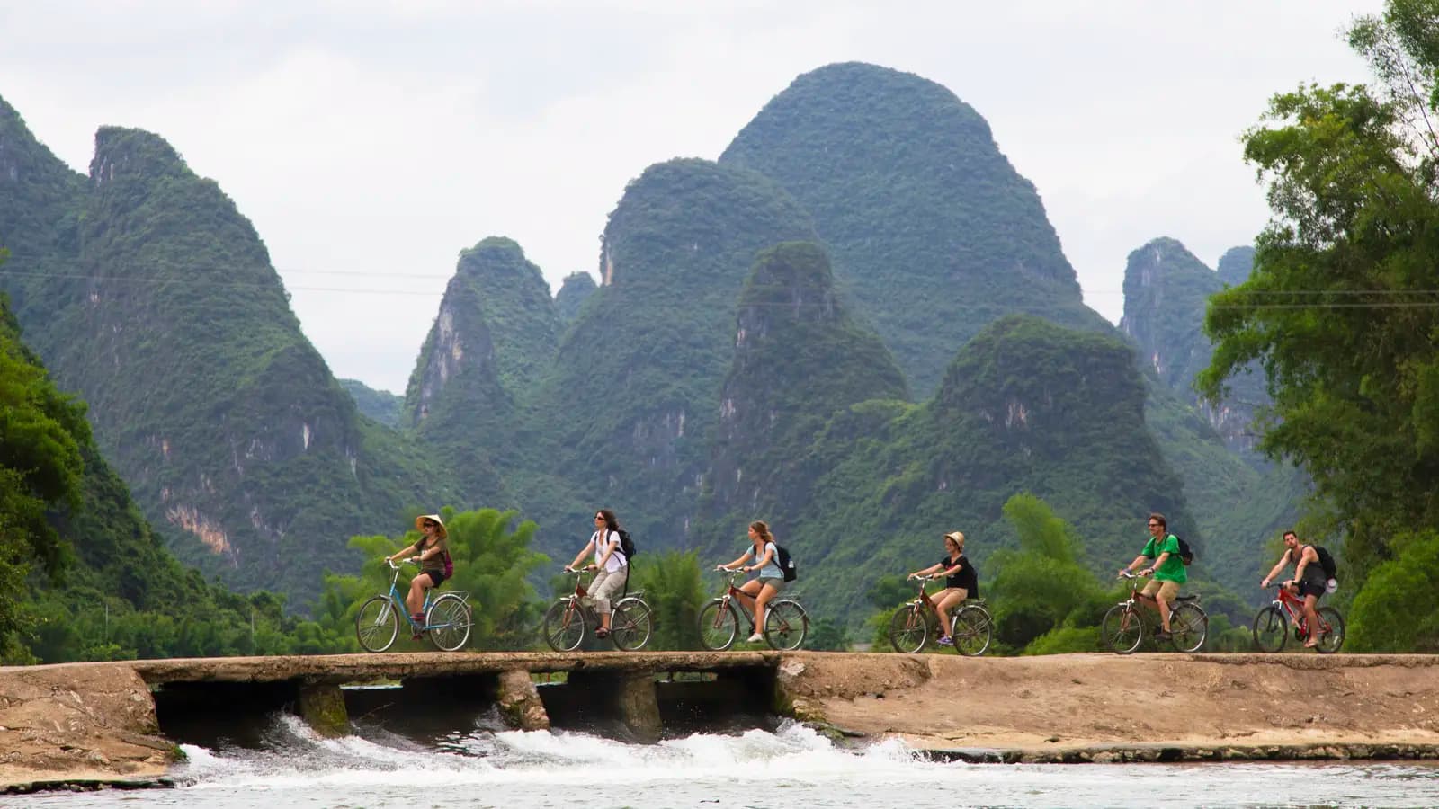
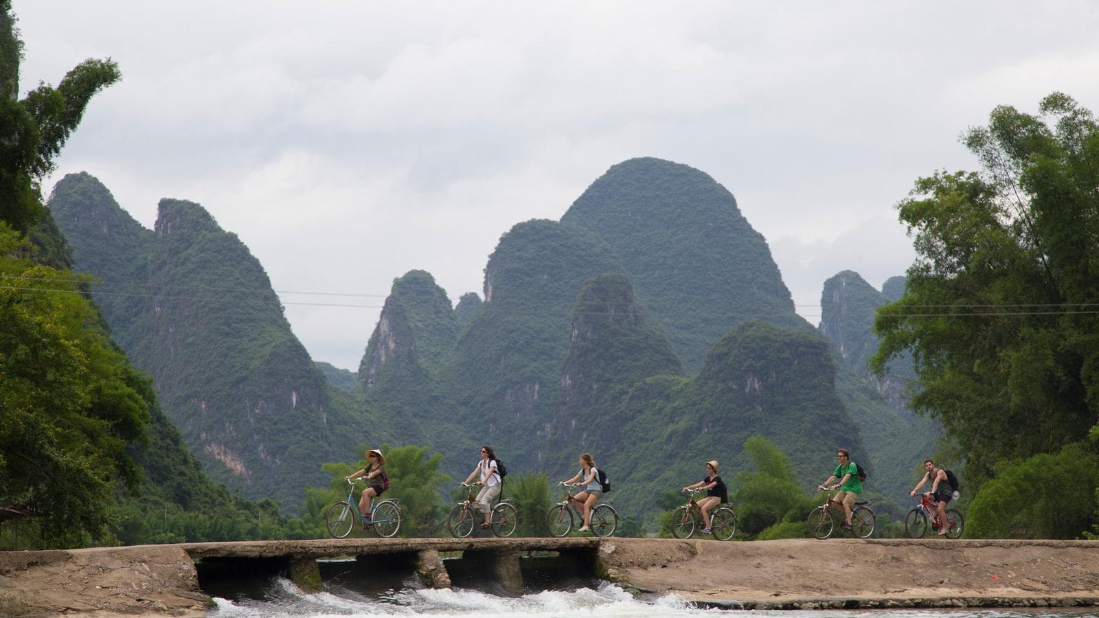
The Li River, by bike, between the karst hills
The limestone peaks around Guilin and Yangshuo have been painted for a thousand years by artists who never had to keep up with a tour bus. On a bicycle, the landscape moves at roughly the same pace it always has.
By Arthur Penhallow26 September 20264 min read
The peaks that rise abruptly out of the paddy fields around Guilin and Yangshuo are karst formations, limestone towers carved over millions of years by water working its way through soluble rock, and they produce a landscape that looks faintly unreal even in photographs taken without any assistance from a filter. It is a look that has shaped Chinese landscape painting for centuries, the steep, isolated peaks and mist-hung valleys of countless scroll paintings drawn directly from this stretch of Guangxi province, and it appears today on the back of the twenty-yuan banknote, a fairly clear sign of how central it is to how China pictures itself.
Why the bicycle suits this landscape
A coach window flattens scenery into something to be looked at rather than moved through, and karst country in particular rewards the opposite. The peaks around Yangshuo are close together and the roads between them narrow, running along raised paths between rice paddies, past water buffalo and fishermen still working with cormorants trained to dive for fish, a traditional method that persists here partly as a working trade and partly, these days, as a demonstration for passing visitors. A bicycle covers this ground at a pace that lets the detail register: the shape of a single peak changing as the road bends round it, the sound of the river before it comes into view, the particular quality of light that painters have spent centuries trying to get right.
Yangshuo, grown up around the view
Yangshuo itself was, within living memory, a quiet market town that happened to sit in spectacular surroundings; it has since grown into the region's main base for visitors, with West Street its busiest thoroughfare and a considerably larger tourist infrastructure than its size would otherwise suggest. The town's transformation is itself part of the region's modern story: a rural county seat that discovered, over the second half of the twentieth century, that the scenery painters had been coming for was also what everyone else wanted to see.
The peaks have shaped Chinese landscape painting for centuries, and appear today on the back of the twenty-yuan banknote.
Guilin, and the river between the two
Guilin, the larger city upstream, gives its name to the whole karst region and is usually the starting point for the classic river journey down the Li to Yangshuo, a slow cruise past the most photographed peaks in the country, including the section known for the reflection said to resemble nine horses in a cliff face, a favourite guessing game for passengers on the boat. The overland cycling routes tend to cover some of the same ground from village lanes rather than the water, offering a complementary view of a landscape that, from either vantage point, does not disappoint.
Fitting it into a wider trip
Guilin and Yangshuo sit well outside the Beijing-Xi'an axis that anchors most first visits to China, and itineraries that include this region tend to treat it as a deliberate change of register: cities and dynastic history further north, then several days of rural scenery and slower travel in the south before, in some cases, continuing on to Hong Kong. One route runs the length of the country this way, from Hong Kong's harbour, through Guilin and Yangshuo's rice terraces, on to Xi'an's buried army and finally Beijing's palaces and wall, effectively working backwards through several different registers of the same country in a single trip. A shorter alternative pairs the karst hills with Chongqing and the Zhangjiajie national park further north, trading the length of the Hong Kong-to-Beijing route for a tighter focus on landscape.
Villages along the way
The bicycle routes typically pass through smaller settlements rather than sticking to the main road between Guilin and Yangshuo: Hongkeng and Yongding, further east in neighbouring Fujian province on some extended itineraries, are known for their tulou, large circular or rectangular earthen buildings built by the Hakka people from around the twelfth century onward, designed to house extended families communally and to be defensible against bandits, a striking and very different kind of vernacular architecture from anything in the karst hills themselves.
Spring and autumn bring the clearest air and the most comfortable cycling weather; summer here is hot, humid and prone to sudden downpours, which the karst hills are good at generating a mist to match but less good at making pleasant to cycle through.
By Arthur Penhallow, the name Atlas & Passage’s editorial team writes under. Prices and dates in the trips below come from the operators and can change.